وثيقة
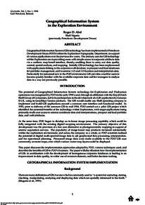
Geographical information system in the exploration environment.
المعرف
DOI: 10.2113/geoarabia030105
المصدر
GeoArabia. v. 3, 1, p. 5-16
الدولة
Bahrain.
مكان النشر
Manama
الناشر
Gulf PetroLink.
ميلادي
1998-01-01
اللغة
الأنجليزية
مدى
p. 5-16
الملخص الإنجليزي
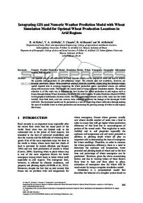
Geographical Information System (GIS) technology has been implemented at Petroleum Development Oman (PDO) within the Exploration Topographic Department, in support of various applications over the previous few years. The primary uses for GIS technology within Exploration are in providing users with simple access to corporate attribute data via a uniform map-based interface, thereby enabling them to carry out data quality control, spatial analysis, and mapping. Initially GIS technology has been implemented with applications linking to the corporate well database, to prospect and lead databases for portfolio management, and to seismic 2-D and 3-D location and interpretation data. Particularly for personnel new to the PDO environment, GIS provides a tool for users to become quickly familiar with the available corporate data and for managers to analyse data in a way not previously possible.
المجموعة
ISSN
1025-6059
قالب العنصر
مؤتمرات وورش عمل
حجم الملف
1.35 ميغا بايت
3
0